Showing posts with label geography. Show all posts

Wednesday, March 20, 2013

Useful Links

If you're like me when you write, you do a lot of research to make sure you get things accurate.  The past two days as I work on the fourth Adepts Novel (still untitled but I'm having some ideas), were research heavy.  Today I had to deal with time zones . . . a lot.  Horrible things, these time zones.  My main character was flying from Tehran, Iran (in 1976, before the revolution) to New Orleans on a military VIP small jet (a "VC-140 Jetstar").  Because of the plane's range, it had to stop at Rhein-Main Air Force Base in West Germany and St. Johns in Newfoundland, Canada, before getting to New Orleans.

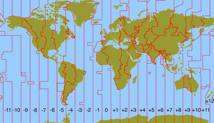
Here was my challenge: the plane left Tehran at about 6:00 P.M. on May 10, 1976.  When would it land in West Germany, Canada, and finally New Orleans?  I figured each leg would last about 6 hours.  So it would land in Germany at about midnight, Tehran time.  But what time was that in Germany?  And Iran is one of those weird half-hour off time zones.  And so is St. Johns (but of course, Germany and New Orleans aren't).  This got beyond my ability to easily calculate.

So here's a website I used to figure out when the plane would land at local time: http://www.timeanddate.com/worldclock/  I would figure out what the time was the plane landed at the last place it left from, and use that website to figure out the local time where it landed.  Ended up it took off at 6:00 P.M. May 10th and landed at about 6:30 A.M. May 11th.

The other thing I worried about was when it got dark.  Was it dark when the plane landed in Germany?  (It landed in St. Johns at 2:30 A.M. local time so I was pretty sure it was dark).  Was it light when the plane landed in New Orleans?  So another website I used was: http://aa.usno.navy.mil/data/docs/RS_OneDay.php  But for small towns, rural areas, or anywhere out of the U.S., you have to know the latitude and longitude.  That's available various places but I used Wikipedia and checked it with Google Earth.

And this hasn't come up in this story yet, but say you are dealing with money.  And you think "My character should earn $100,000 per year in current dollars."  But what would that be in 1976?  Well, try this website: http://www.bls.gov/data/inflation_calculator.htm which will give you the answer back to 1903.  (The answer is $24,508 by the way.)

So, I hope those are helpful in your writing.

Tuesday, January 15, 2013

Dot Map

I saw this last night on Cartoon Network during Adult Swim watching "Family Guy" because my local Fox station had blocked programing from Dish (my television provider) for about five weeks and Cartoon Network was the only place to see the new Family Guy episodes.  Okay, that's probably more than you wanted to know.

Here is a map with one dot for every person in the U.S. and Canada according to U.S. and Canada census data.  As the website state:
This is a map of every person counted by the 2010 US and 2011 Canadian censuses. The map has 341,817,095 dots - one for each person.
 
And you can actually zoom in to see individual dots.

What I find fascinating is, starting at the splotch in Texas that I assume is San Antonio, you can almost follow a line north (a not quite straight line) to what looks like Winnipeg, Canada.  East of that line there is almost no empty space and a lot of dark smudges.  West of that, there's a lot of empty space and almost no smudges until you get to the West Coast/I-5 corridor.

I think a lot of people living in the crowded eastern half of the continent don't realize how much empty space there is out West.

And I think a lot of people living the the West don't realize how packed the people are in the East.  We take our open spaces for granted.  I can hope in my car, drive an hour, and be where you can't see anything human-built (except the road).

Anyway, fun map that somebody wasted a lot of time on.

Saturday, December 29, 2012

Snoqualmie Pass

Not only am I a bit of a weather buff but I'm also a bit of a geography nerd.

The other day (okay, Thursday) I was driving to Seattle.  Between where I live and Seattle is the Cascade Mountain Range.  So you have to go over a "pass."  The lowest pass in Washington State (other than the Columbia River Gorge) is Snoqualmie Pass (where Interstate 90 crosses the mountains).

Now Snoqualmie Pass is only 3,022 feet above sea level.  Growing up in the high mountain valleys of Idaho, this doesn't seem very high.  It's lower than the Snake River Valley at Idaho Falls (4,700 feet).  Last summer I went over a pass in Idaho at 7,161 feet (that's higher than the highest point east of the Mississippi).  So Snoqualmie Pass isn't that high.  But what it is is very close to the ocean.  As Wikipeadia says:
Snoqualmie Pass as it climbs into the Cascades passes through a micro-climate characterized by considerable precipitation, and at times hazardous conditions for travelers. The annual rainfall is over 100 inches per year, snowfall is over 400 inches per year. The number of days with any measurable precipitation is 170 or more per year.
 
Over 400 inches of snow!  That's 33 1/3 feet or a three story building.  And all of that has to be removed from the road.  Sometimes the plows can't keep up and then this happens:
(if you can't read the orange sign it says "All Vehicles: Chains Required").  That means you have to put chains on your drive tires for traction.

The State Patrol bases their requirements (it seems) on the lowest common denominator: the Seattle driver who can't drive in snow.  On the day pictured above, there was no need for chains; the road was not that bad.  But the State Patrol decided they were needed.  And it's a $500 fine if you get caught with out them.

So while Snoqualmie Pass isn't that high, it is snowy.

And it's higher than the highest point in these states: Alabama, Arkansas, Connecticut, Delaware, Florida, Illinois, Indiana, Iowa, Louisiana, Michigan, Minnesota, Mississippi, Missouri, New Jersey, Ohio, Rhode Island, and Wisconsin.

Oh, and Thursday when I drove over the pass: bare and wet, no restrictions.